How do I equip for a hiking trip?
Image on the left Text on the right
How do I equip for a hiking trip?
Full title image left
Introductory text
I am text block. Click edit button to change this text. Lorem ipsum dolor sit amet, consectetur adipiscing elit. Ut elit tellus, luctus nec ullamcorper mattis, pulvinar dapibus leo.
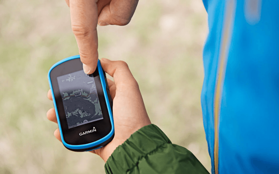
Particularly robust, the hiking GPS is designed to withstand high humidity, extreme temperatures, shocks and vibrations.
A hiking GPS allows you to download maps, obtain your position live, help you find your way on a map, and give you your geographical coordinates so you can transmit them to the emergency services if necessary. Thanks to hiking GPS, you can prepare a route in advance of your outing and simply let yourself be guided on the day. Conversely, you can also record the route you have taken and review it after your outing.
GPS limits the risk of getting lost, and this is all the more necessary when the weather is cloudy and foggy and the trails are not well marked. It’s very easy to miss an intersection when fog rolls in without warning and limits your vision.
Highlight text block on colored background
Firstly, to ensure excellent visibility of your route, the GPS screen must be large enough (the larger it is, the easier it is to read). Also, a GPS with a transflective or anti-glare screen lets you read your display with peace of mind, even in bright sunlight.
Je découvre les GPSThe cards
This point is essential: some GPS units come with preloaded maps, in which case the price of your GPS is the final price. On the other hand, some GPS units are sold without maps, so you’ll need to stretch your budget to acquire the maps you need.
The cards
This point is essential: some GPS units come with preloaded maps, in which case the price of your GPS is the final price. On the other hand, some GPS units are sold without maps, so you’ll need to stretch your budget to acquire the maps you need.
GPS watch functions
Fonction barométrique
La fonction barométrique, qui mesure la pression atmosphérique, permet d’anticiper la météo. Cette fonction est précise, car la montre prend en compte la localisation précise de la demande. La fonction barométrique est très facile à lire et à comprendre : si la courbe diminue, alors cela signifie que le temps se dégrade et inversement.
Fonction altimètre
La fonction altimètre permet quant à elle d’estimer la situation par rapport au sommet, et aide à définir le temps restant afin de parvenir au sommet. Cette fonction est idéale pour l’alpinisme, la randonnée, le ski de randonnée.
Fonction compas
La fonction compas donne le cap, renseigne la position des points cardinaux. Cette fonction joue le rôle de boussole.
Text on the left / Image on the right
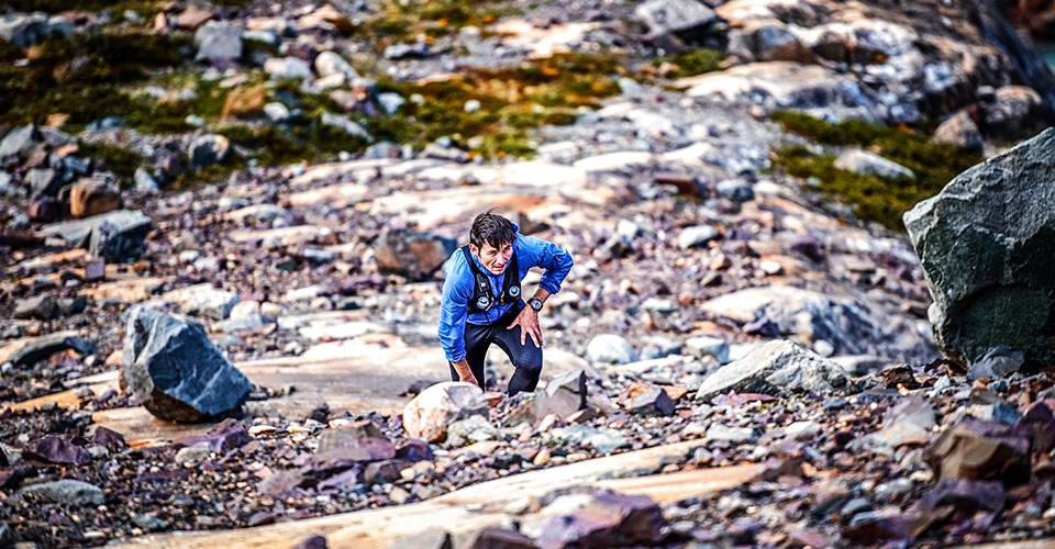
Ideal for fast hiking, trail running or ultra trail running, the GPS watch is designed for hikers for whom every gram counts.
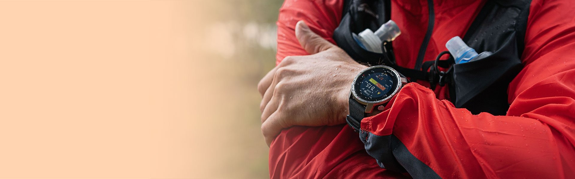
Like hiking GPS, some watches with mapping functions allow you to program itineraries and insert them into your watch, keeping them close at hand.
Text on right / Image on left
If you regularly go hiking, mountaineering or on long treks, it’s a good idea to invest in an adapted GPS, which will be more resistant, have longer battery life and, above all, be very reliable.
Je découvre les GPSText block on image background
Riding a new machine is a unique and unforgettable gift. And perhaps the best idea for giving pleasure during the festive season?
Ne copier que la dernière partie du lien
